Build Nova Scotia
About
History
Media
Executive Team
Accessibility Plan 2026-2029
Employment Opportunities
Recognition
News
Visit
Halifax Waterfront
Lunenburg Waterfront
Projects
All Projects
Cellular for Nova Scotia Program
(external link)
Internet for Nova Scotia Initiative
(external link)
Public Housing for Nova Scotians
Healthcare Infrastructure
Partner With Us
Procurement
Event Request
Business Development
Contact
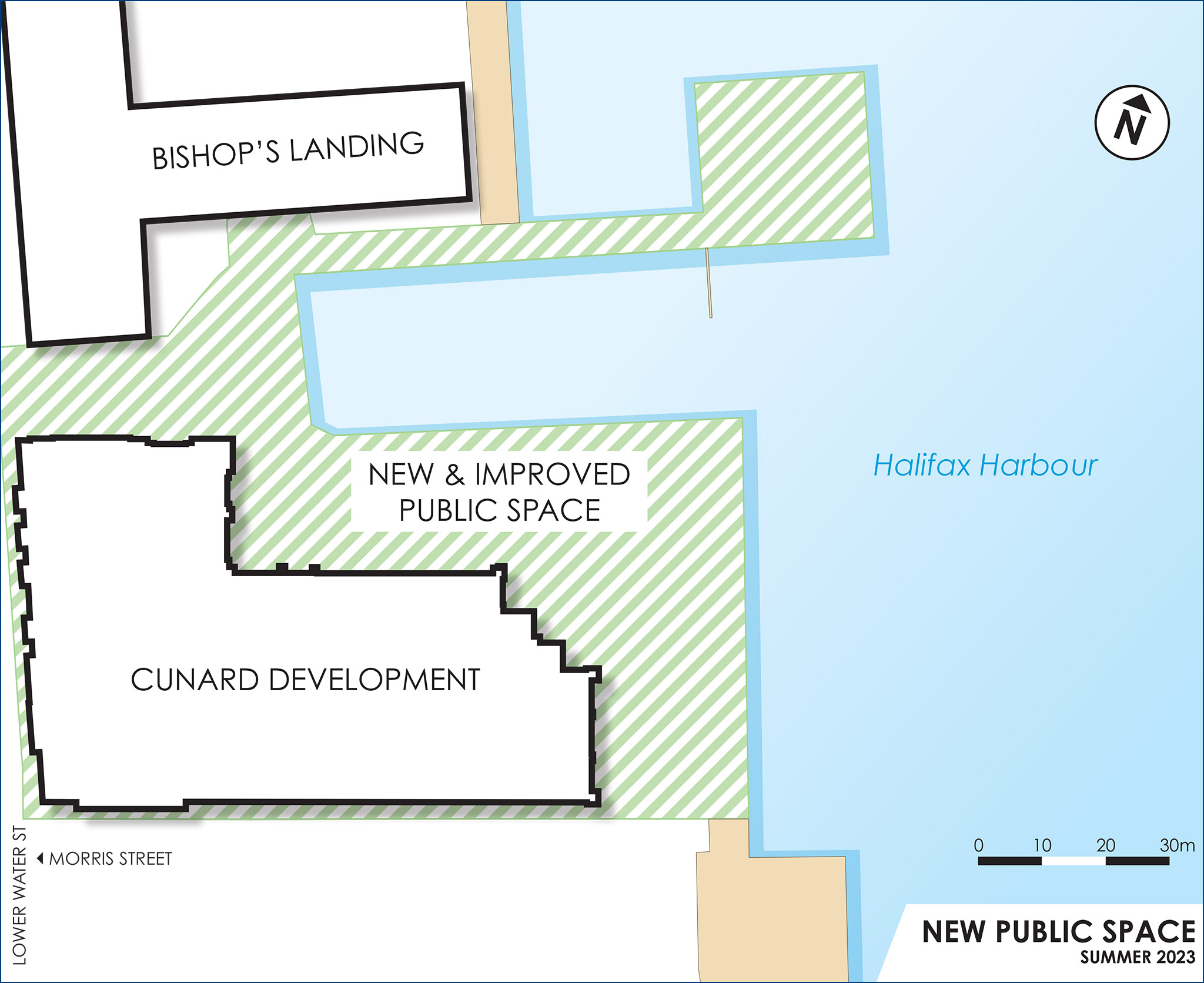
NewPublicSpace_Graphic_sm
August 29, 2023